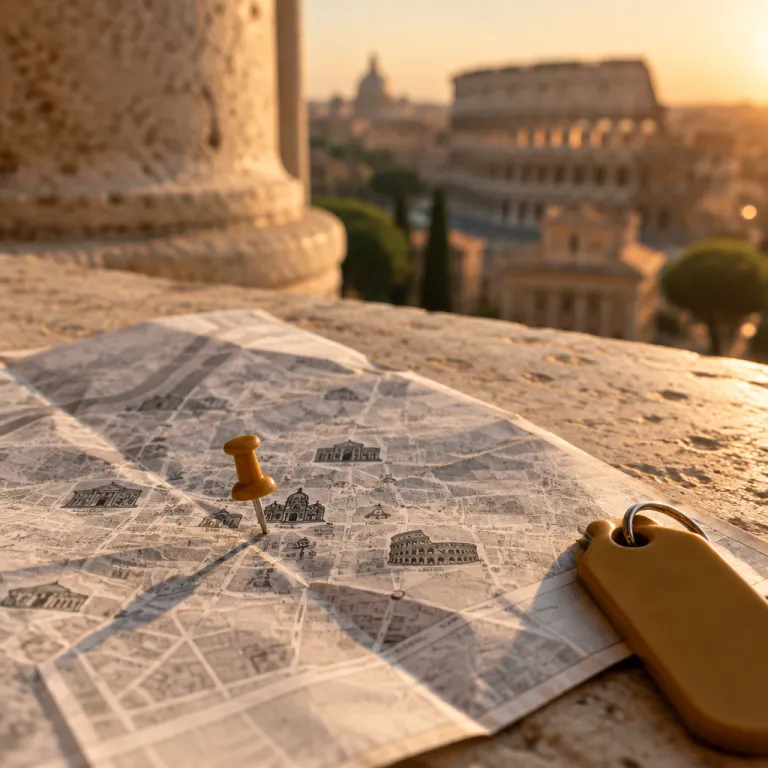
Using a Rome Italy historical sites map to choose your neighborhood
A carefully planned Rome Italy historical sites map is the smartest starting point when you are choosing a hotel in the city. When you see every major Roman monument, piazza, museum, fountain, and hill plotted together on one clear city map, you immediately understand how compact the historic center really feels. That same visual guide to Rome then helps you balance walking distances, public transport links, and the atmosphere you want during your visit.
Focus first on the historic center between the Colosseo metro station and Vatican City, because this area concentrates many layers of ancient Rome and later centuries. On a detailed map of Rome’s layout, you will notice how the Roman Forum, Palatine Hill, and Capitoline Hill form a tight archaeological triangle, while the Trevi Fountain, the Spanish Steps, and Piazza Navona create a separate baroque cluster. Hotels in these central streets place you within a short walk of both ancient Roman ruins and elegant piazzas, which is ideal if you want to step out at dawn before the main tours arrive.
Some travelers prefer a quieter base slightly beyond the busiest streets of the historic center, yet still close to every key site on their personal heritage walking map. In that case, look at areas around the Tiber near Castel Sant’Angelo and the bridge toward Vatican City, where former palazzi have been turned into refined hotels with river views. A Rome city layout map will show how these districts sit between the Vatican Museums and the Colosseum area, giving you flexible options for morning and evening visits.
Historic palazzi turned into hotels near ancient Rome landmarks
Many of the most atmospheric hotels in Rome occupy historic palazzi that were originally built as noble residences facing a piazza or a church. When you overlay these addresses on a Rome Italy historical sites map or a heritage walking map, you see how often they align with routes between the Colosseum, the Roman Forum, and the great baroque squares of the city. Staying in such a palazzo places you inside the same urban fabric that shaped ancient Roman streets, Renaissance power, and the modern Rome tourist experience.
For travelers focused on ancient Rome, consider palazzi near Via dei Fori Imperiali, where a short walk connects your hotel to the Roman Forum, Palatine Hill, and the Colosseum in minutes. On a precise map of Rome, this corridor appears as a spine of Roman history, with museums on the Capitoline Hill and the archaeological park of ancient Rome spreading out on either side. Several former aristocratic residences here now operate as discreet hotels, giving you early access to the forum area before most tours arrive and late evening strolls when the ruins are beautifully lit.
Another cluster of historic palazzi turned into hotels lies between Piazza Navona, Campo de’ Fiori, and the Tiber, where the city feels particularly layered. From these addresses, your Rome Italy historical sites map will show an easy route to Castel Sant’Angelo, the bridge toward Vatican City, and the Vatican Museums, while still keeping you close to the Trevi Fountain and the Spanish Steps. This balance suits guests who want both museum visits and relaxed evenings in atmospheric streets without relying heavily on taxis or long guided tours.
Mapping Rome’s great squares, fountains, and hills around your stay
Once your hotel short list is ready, refine it by studying how Rome’s major piazzas, fountains, and hills relate to each address on your Rome site map. The trio of Piazza Navona, the Trevi Fountain, and the Spanish Steps forms a graceful arc through the city, and staying near any of them gives you a strong sense of Rome’s baroque character. On a detailed map of Rome’s historic center, you will see how these landmarks sit between the ancient Roman core and Vatican City, making them ideal anchors for a balanced visit.
Piazza Navona occupies the footprint of the ancient Roman Stadium of Domitian, so a hotel in one of the surrounding palazzi lets you sleep above layers of history. From here, your walking tour can include the nearby church of Santa Maria della Pace, the fountains of the piazza itself, and the short stroll to the river toward Castel Sant’Angelo. Many Rome tourist itineraries also link Piazza Navona with the Pantheon, Piazza del Popolo, and the elegant streets leading up toward the Pincian Hill, which you will clearly see on any good map of the center.
If you prefer a base near a grand urban stage, consider the area around Piazza del Popolo and the Spanish Steps, where several nineteenth century palazzi have been converted into hotels. Your Rome Italy historical sites map or any good tourist plan will highlight how this district connects via broad avenues to the historic center, while the nearby hill gardens offer quiet escapes from the city traffic. From here, you can plan tours that descend toward the Trevi Fountain and the Roman Forum in the morning, then rise back to the viewpoints above the center at sunset.
Planning Vatican and Trastevere days with a precise city map
Guests who intend to spend significant time in Vatican City should pay close attention to distance and access on their Rome Italy historical sites map. The Vatican Museums, the Sistine Chapel, and Saint Peter’s Basilica form a dense cultural complex that rewards early arrivals and carefully timed visits. A hotel in a historic palazzo on the streets between Castel Sant’Angelo and the Vatican Museums can reduce your walking time and make early entry tours far more comfortable.
On a well annotated map of Rome’s layout, you will notice how the Tiber curves between the Vatican area and the historic center, with bridges linking Castel Sant’Angelo to streets that lead toward Piazza Navona and the Trevi Fountain. Choosing a hotel near these bridges allows you to move easily between Vatican City in the morning and the Roman Forum or Colosseum in the afternoon, without long transfers. This position also suits Rome tourist itineraries that include evening walks along the river, where the illuminated castle and nearby palazzi create a memorable skyline.
Trastevere, on the opposite bank from the historic center, offers another compelling option, especially in former palazzi near the basilica of Santa Maria in Trastevere. While slightly outside the densest cluster of ancient Roman ruins, this neighborhood appears on every good Rome Italy historical sites map because of its medieval lanes and lively piazza life. From here, you can plan tours that cross the river toward the Capitoline Hill, the forum area, and Ostia Antica excursions, while returning each evening to a quieter, village like corner of the city.
Extending your map beyond the center: Ostia Antica and lesser known sites
A sophisticated Rome Italy historical sites map does not stop at the Aurelian Walls, and your hotel choice should reflect any plans to explore beyond the center. If you intend to visit Ostia Antica, the remarkably preserved ancient Roman port, consider staying near a station with direct connections toward the coast. This approach turns what could be a long, fragmented tour into a smooth day trip that complements your time at the Colosseum, the Roman Forum, and Palatine Hill.
Some travelers also wish to include lesser known museums and churches, which rarely appear on basic tourist maps of Rome. When you study a more detailed map of Rome, you will see how institutions such as the Centrale Montemartini museum or smaller churches dedicated to Santa Maria stand slightly outside the usual forum to Vatican axis. Choosing a hotel in a palazzo near a convenient transport hub can make these visits easier, while still keeping you within walking distance of the historic center and its main piazza network.
If your priority is to allocate more of your budget to a historic palazzo stay, consider saving on transport by planning flights strategically. Resources such as guides to cheap flights to Rome Italy that explain how to turn airfare savings into a luxury Colosseum stay can help you redirect funds toward a better located hotel in the city. With that extra flexibility, you can select a property whose position on your Rome Italy historical sites map aligns perfectly with both central landmarks and outlying sites like Ostia Antica.
Practical mapping tips for evaluating historic palazzi as hotels
When comparing historic palazzi that have been converted into hotels, use your Rome Italy historical sites map as a practical evaluation tool rather than a decorative image. Measure walking times from each address to the Colosseum, the Roman Forum, the Trevi Fountain, and the Spanish Steps, then note how many museums and churches fall within a comfortable radius. This method reveals whether a palazzo that looks central on a simple overview map of Rome is genuinely convenient for your preferred tours.
Pay attention to elevation as well as distance, because some parts of the city sit on a hill that can make walks more demanding in summer. Areas around the Capitoline Hill and the Palatine Hill offer superb views over ancient Rome, yet may require more effort at the end of a long visit to the forum. If you prefer flatter routes, focus on palazzi near Piazza Navona, Piazza del Popolo, or the streets between Castel Sant’Angelo and Vatican City, where the terrain is generally easier.
Finally, remember that a Rome tourist map is only as useful as the detail it provides about streets, bus routes, and metro stations. Before booking, cross check your chosen palazzo’s location on at least two maps, then sketch a simple tour plan that includes morning museum visits, afternoon piazza walks, and evening returns to your hotel. If that plan feels natural and efficient on paper, you can be confident that your Rome Italy historical sites map is guiding you toward a stay that matches both your curiosity and your comfort.
Key figures for planning a historically focused stay in Rome
- The central area that most visitors explore on foot, from the Colosseum to Vatican City, is compact enough that many major sites lie within roughly a 30 minute walk of one another for reasonably fit travelers.
- The Vatican Museums complex, which includes the Sistine Chapel, extends for several kilometres of galleries; many travelers therefore allocate at least half a day to this single visit.
- Ostia Antica covers a very large area of excavated ancient Roman streets and buildings, making it one of the most extensive archaeological parks near Rome and a substantial day trip from the city center.
- The Colosseum, Roman Forum, and Palatine Hill combined archaeological area receives several million visitors annually, so early morning or late afternoon time slots often provide a calmer experience.
- Piazza Navona, Piazza del Popolo, the Spanish Steps, and the Trevi Fountain sit within a comfortable walking distance of one another, allowing travelers who stay nearby to visit all four landmarks in a single, unhurried evening walk.
FAQ about using a Rome Italy historical sites map for hotel planning
Which neighborhood is best if I want to walk to most historical sites ?
The area between the Colosseum and Piazza Navona, including streets around the Roman Forum and the Trevi Fountain, offers the highest concentration of major sites within walking distance. On a Rome Italy historical sites map, this zone appears as the densest cluster of monuments, piazzas, and museums. Choosing a hotel in a historic palazzo here lets you reach both ancient and baroque landmarks on foot.
Is it practical to stay near Vatican City for a first visit to Rome ?
Staying near Vatican City works well if the Vatican Museums, the Sistine Chapel, and Saint Peter’s Basilica are top priorities. A hotel in a palazzo between Castel Sant’Angelo and the Vatican Museums gives you easy access to early entry tours while still allowing reasonable walks or short rides to the historic center. However, if your main focus is the Colosseum and the Roman Forum, a more central location may reduce daily travel time.
How far are the Colosseum and Vatican Museums from each other ?
The distance between the Colosseum and the Vatican Museums is roughly 5 kilometres, which translates to about an hour’s walk through the city for many visitors. Many travelers instead combine a metro ride with short walks at each end, using their Rome Italy historical sites map to plan the most efficient route. When choosing a hotel, consider whether you prefer to be closer to the ancient Roman area or to Vatican City, then plan one or two dedicated cross town days.
Is Ostia Antica worth including on a short stay in Rome ?
Ostia Antica offers an extensive, open air view of ancient Roman urban life and can be very rewarding even on a short trip. From central Rome, the journey by train and short walk usually takes around one hour each way, which you can visualize clearly on a broader city and regional map. If you are particularly interested in ancient Rome, allocating one day to Ostia Antica can complement visits to the Colosseum and the Roman Forum.
How can I check if a historic palazzo hotel is well located ?
Start by plotting the hotel address on a Rome Italy historical sites map that includes the Colosseum, the Roman Forum, Vatican City, Piazza Navona, the Trevi Fountain, and the Spanish Steps. Estimate walking times to the sites you care about most, then note nearby metro stations or bus routes for longer tours. If your daily plans require repeated long crossings of the city, you may want to choose a more central palazzo to reduce travel fatigue.